
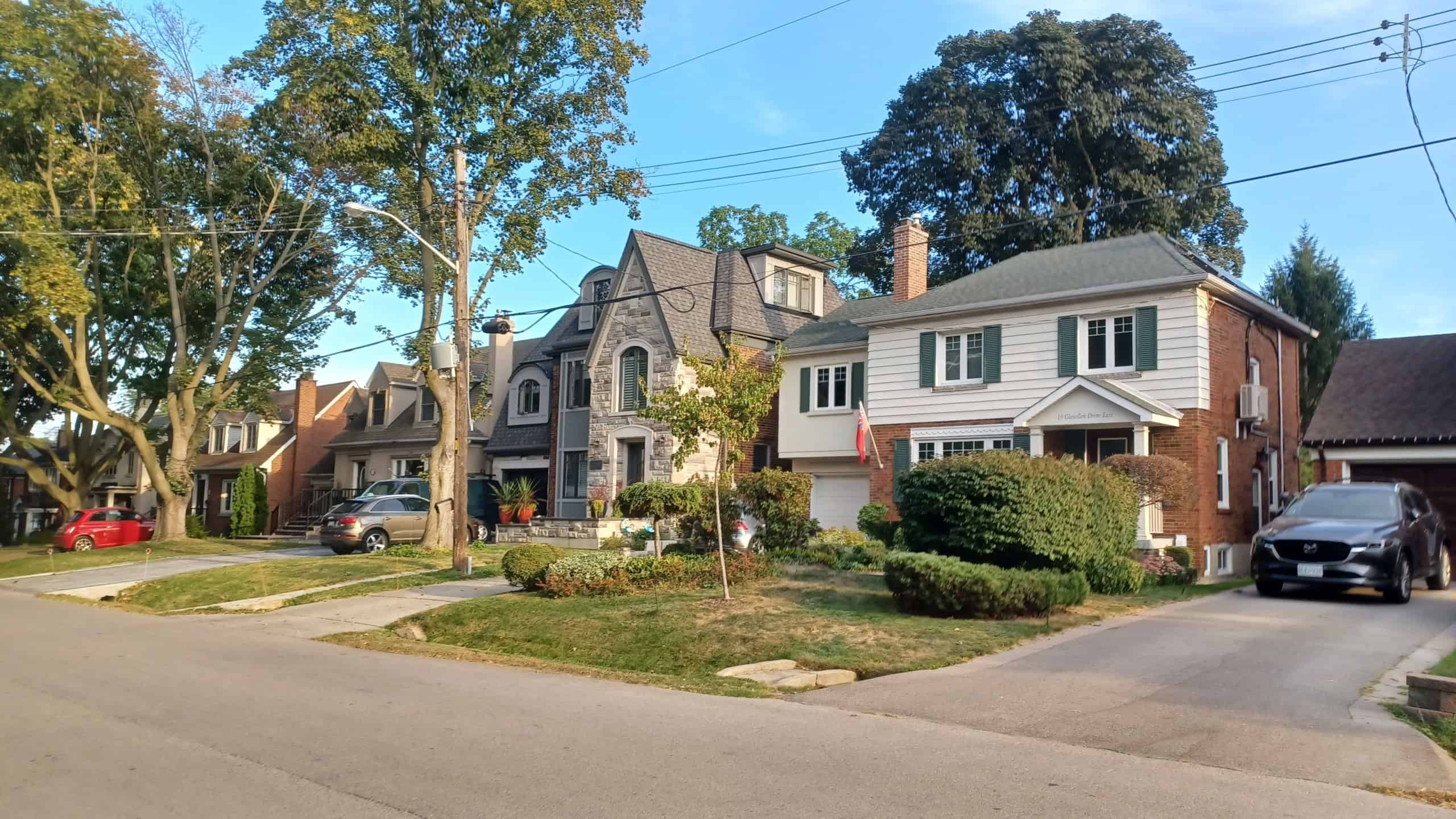
There are hundreds of differences between American and Canadian cities. They start with how they’re both planned in not-so-similar ways, and these rules affect things like zoning & land protection. Some rules come from financing differences, while others involve voting power instead of the buildings themselves.
Here are ten ways Canadian cities are planned differently from American ones. You might be surprised to learn some of these because they tend to be only familiar to those who work in planning or real estate. But they affect life on either side of the border each day. Which planning choices feel strangest to you?
Farmland reserves next to the suburbs

British Columbia has something called the Agricultural Land Reserve that dates back to 1973. It restricts non-farm uses to designated land, meaning that working farmland may be right next to housing subdivisions in Metro Vancouver. There’s no buffer.
It’s quite different in America because most farmland protection is county-based or voluntary. There’s no singular, nationwide zoning system that allows for farmland to be right next to suburbs in the same way.
Regional pathways

Cities like Calgary have around 1,000 kilometers of regional pathways that they include as part of their core city services. They’re important parts of the city because they connect neighborhoods to parks, as well as river corridors.
The city government treats them similarly to roads or sidewalks. That’s not to say similar routes don’t exist in America, as they do have trails. But it’s the park department or separate regional agencies that run them, instead of the city itself.
Laneway houses
Vancouver allowed for laneway houses to be built across 94% of its single-family zones. Toronto has similar allowances. They’re essentially small homes that sit behind main houses. They have lanes & follow strict design rules.
You may find accessory units like these in American cities, but you’ll struggle to see anything like the alley-based laneway model. It’s not as common in places where rear lanes don’t exist.
Flood maps & insurance
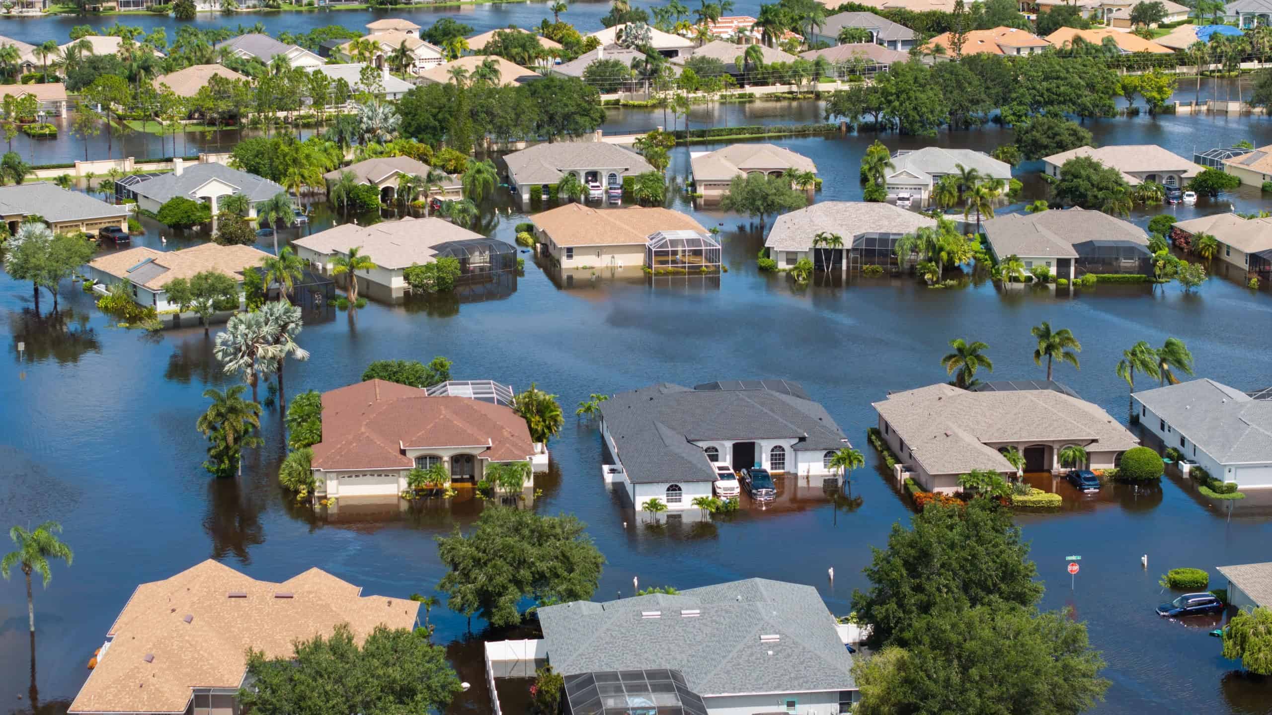
Floodplain planning in the United States comes directly from the National Flood Insurance Program. FEMA flood maps decide where insurance policies are required, and they also determine what rules may apply locally.
But Canada doesn’t have the same kind of single, nationwide flood insurance system. People are left to get coverage by their insurer, and there’s no real nationwide planning for flooding like there is in America.
Homeowners’ associations

You’ll find that many new single-family subdivisions in America are built with homeowners’ associations in mind. These HOAs are able to set rules and collect fees, even manage shared spaces, in a way that doesn’t really exist in Canada.
There are very few homeowners’ associations in Canada, and those that do exist are exclusive to condos or strata properties. They certainly don’t have the same influence over city planning as they do in America. Municipalities run detached neighborhoods instead of private associations.
A national interstate system

America also has a national interstate system, while Canada doesn’t. The Interstate Highway System is a national program created through American federal law, and it includes shared standards. Federal agencies have an important role to play in the system.
Canada does things differently because highways are the responsibility of provinces instead. The Canadian federal government isn’t responsible for the road network like the American government is. It completely changes how the nation plans & funds major routes.
One provincial policy document

A few provinces, like Ontario, have a single planning policy document that applies across the province. It falls under the Planning Act, and it’s called the “Provincial Planning Statement.” Almost all kinds of planning decisions have to follow this single Statement.
Land-use rules in the United States come from state laws & local ordinances, rather than one document. There’s no single federal or state policy document that helps with zoning decisions across the country.
Changing zoning rules

Zoning changes are a little easier to change in the United States than in Canada. Ballot initiatives & referendums allow local people to approve or overturn rezonings. They have more of a voice in controlling density limits and growth boundaries, even for specific areas.
Canadians don’t have the same kind of influence on planning decisions because the cities don’t have public ballots for zoning changes. They rely on councils & provincial planning processes to control what’s going to happen.
A federal tax-zone program

Qualified Opportunity Zones are a kind of federal tax-zone program that was created in the United States in 2017. These zones cover thousands of low-income areas across the country. Investors may roll their capital gains into approved funds & they get tax benefits from these zones.
The program essentially works as a federal place-based tool for redevelopment. Canada doesn’t have a nationwide tax-zone system that’s built around neighborhood designations like this.
Bank lending rules tied to neighborhood geography

One slightly fairer aspect of city planning in the United States is the Community Reinvestment Act. The Act forces American banks to show how they’re helping the community’s credit needs, including lower-income areas. Such a rule changes where money flows & that affects the parts of the neighborhoods that are built or left untouched.
The Canadian government regulates banks at the federal level as well. Yet there is no nationwide law that works the same way as the Community Reinvestment Act, nor are there measures that connect lending expectations to neighborhood maps in a similar way.
Sources: Please see here for a complete listing of all sources that were consulted in the preparation of this article.
Like our content? Be sure to follow us.