
Canadian cities can often seem like mirror images of their American counterparts. But Americans visiting Canada quickly discover that their northern neighbors operate under a slightly different logic when it comes to the planning and naming of our cities.
From the strong influence of the British Monarchy to massive underground “shadow cities” and the unique bilingual requirements in certain provinces, these layouts often feel like a slightly “alternate reality” version of the North American grid.
So here are 12 Canadian street grids and naming oddities that often surprises Americans.
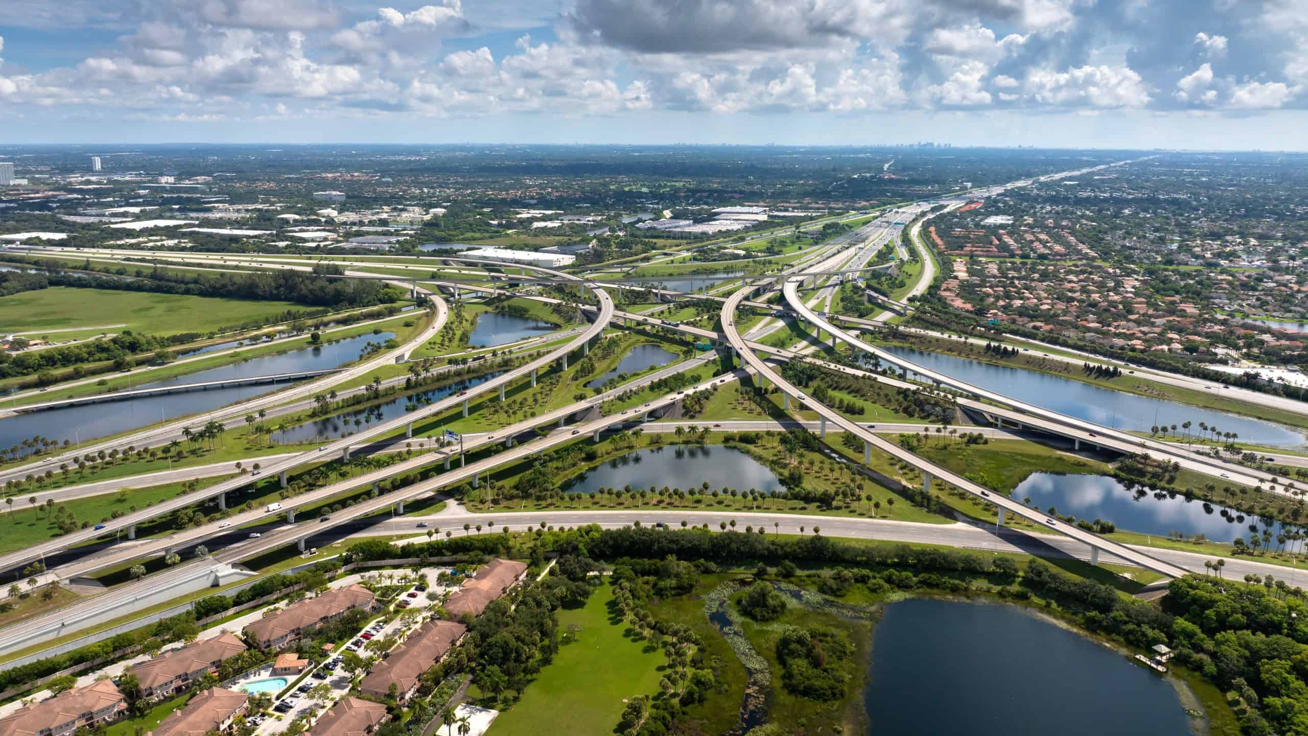
The “Queensway” / “Kingway” logic
Across Canada, you’ll notice all major highways or major arteries are named after royalty. Instead of “The I-95” or “The Expressway,” you will find Queensway in Ottawa or Toronto.
Americans are used to numbered interstates or generic-sounding streets like the “Lincoln Highway.” Having the constant reminder of the British Monarchy on every street sign tends to feel weird to Americans.
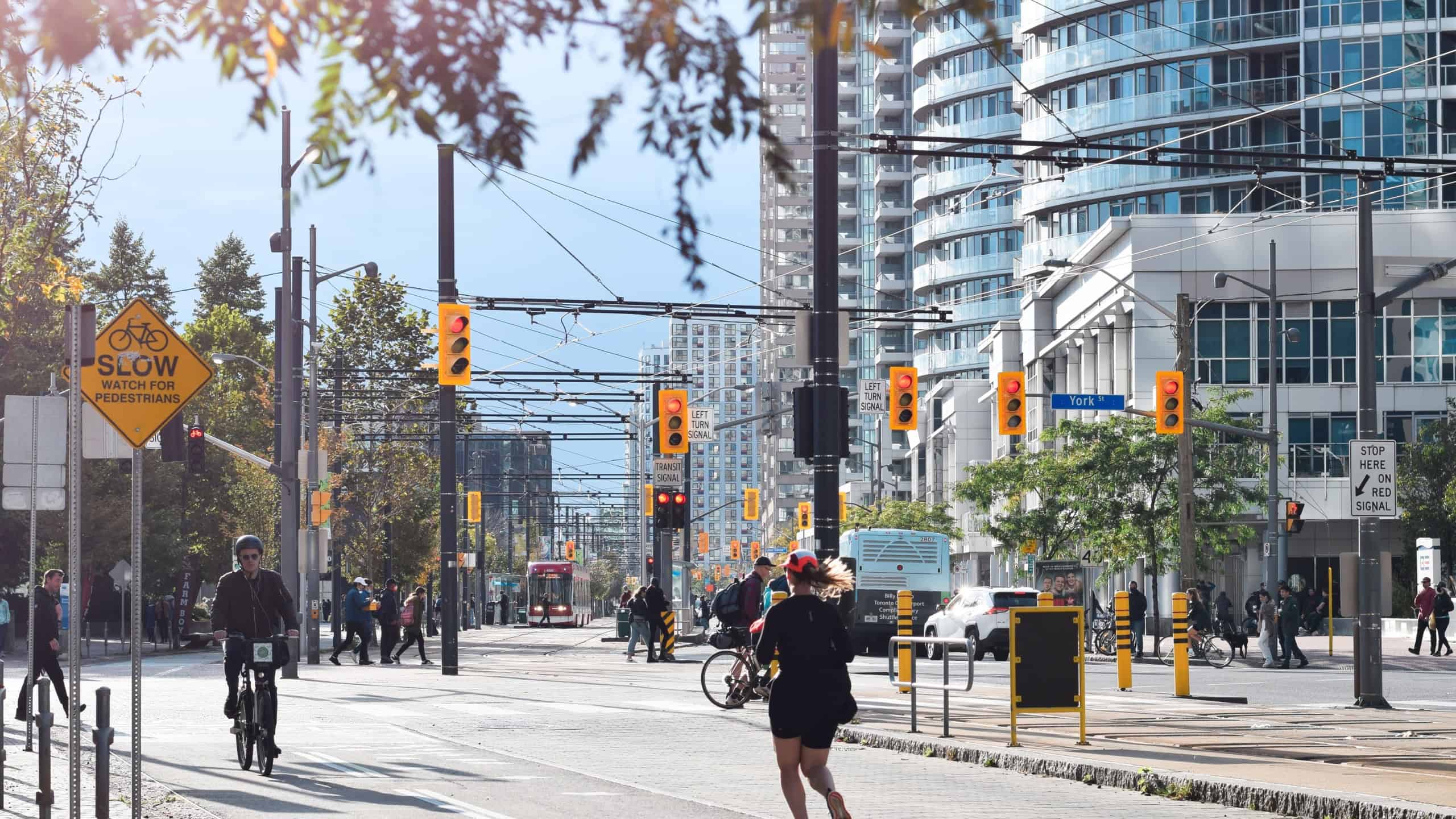
Street names that change at every border

On any major road through the United States, there may be one road with the same name running for miles; for example, Broadway.
Drive through any metropolitan area in Greater Victoria or Montreal and you’ll drive down one straight-as-an-arrow road that changes names four or five different times every time it crosses into a new municipality.
GPS systems will test your memory as the road you are searching for suddenly has a COMPLETELY different name every ten minutes.
Directions according to “The Lake”

Cities like Toronto orient their directions not by North, South, East or West but by “Towards the lake” or “Away from the lake.”
Americans who live and die by a literal compass grid will find it extremely foreign having to decipher which way is “down” when down literally means “towards Lake Ontario.”
Underground city networks
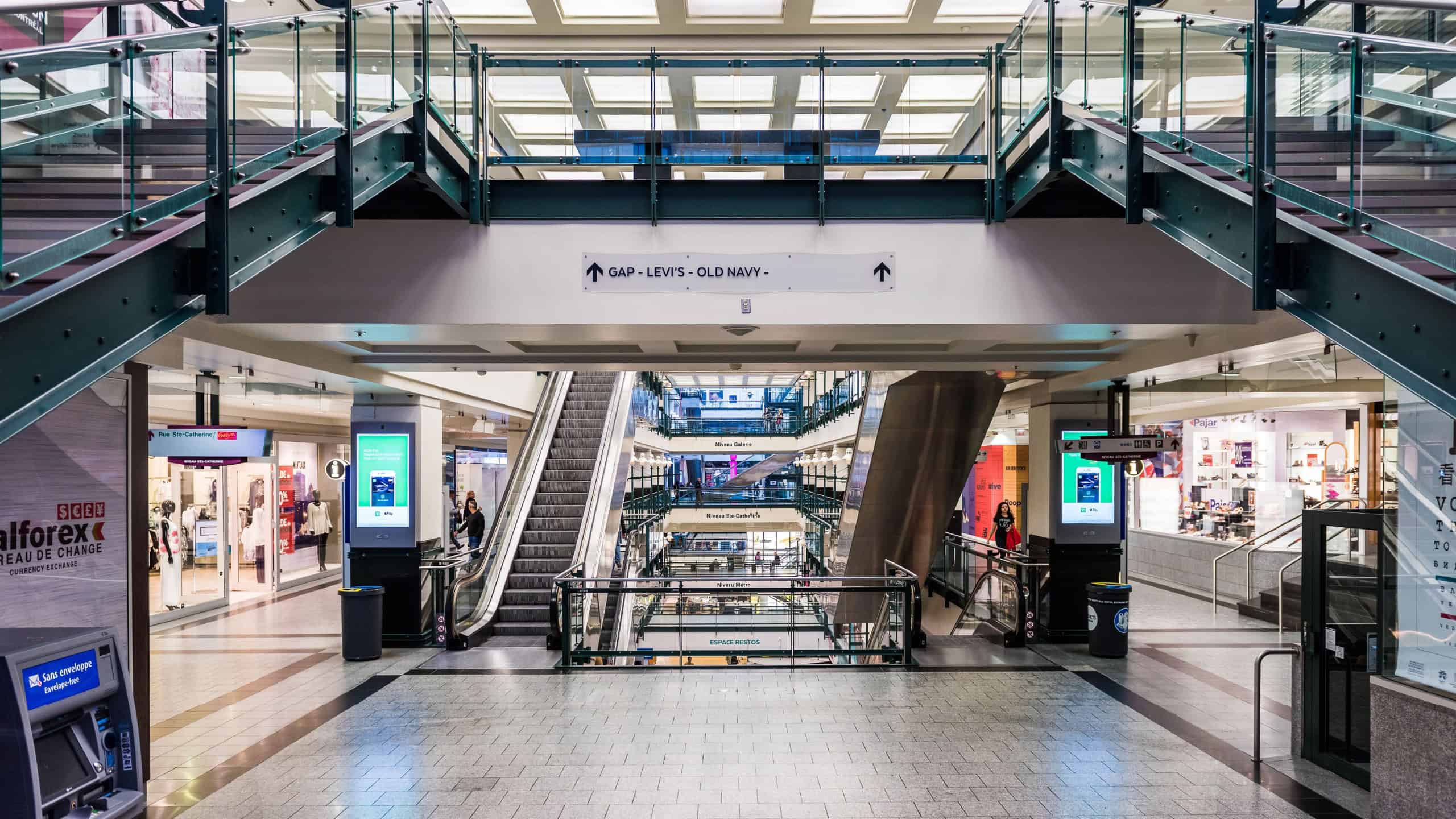
Cities such as Montreal (RÉSO) and Toronto (PATH) have several kilometers of streets complete with shops, banks, and gigantic food courts that exist ENTIRELY underground.
For most people from the United States, a city layout exists solely within your line of sight when looking out of the passenger window of your vehicle.
Learning that thousands of commuters and shoppers use these underground pathways as a “second city” beneath their feet is absolutely mind-boggling for them.
“Crescents” instead of “circles”

Every American suburb you drive through will consist of “Streets,” “Avenues,” and “Cul-de-sacs”. Canadians love the good old “Crescent.”
There are streets that are literally a semi-circle that start and end on the same main road. Americans driving through Canadian suburbs will spend way too much time driving in loops, because it seems as though every street curls back to where it began.
The “Rang” system in Quebec

Drive through rural Quebec and you’ll quickly realize there is no grid system; squares or otherwise. Much of Quebec is built upon the old French grid system called “Le Rang,” which literally means row.
Farms were built in long/narrow strips to ensure everyone had access to the river. This creates a very distinct “ladder” layout on maps that looks nothing like the massive square sections found in the American Midwest.
Every street is in two languages
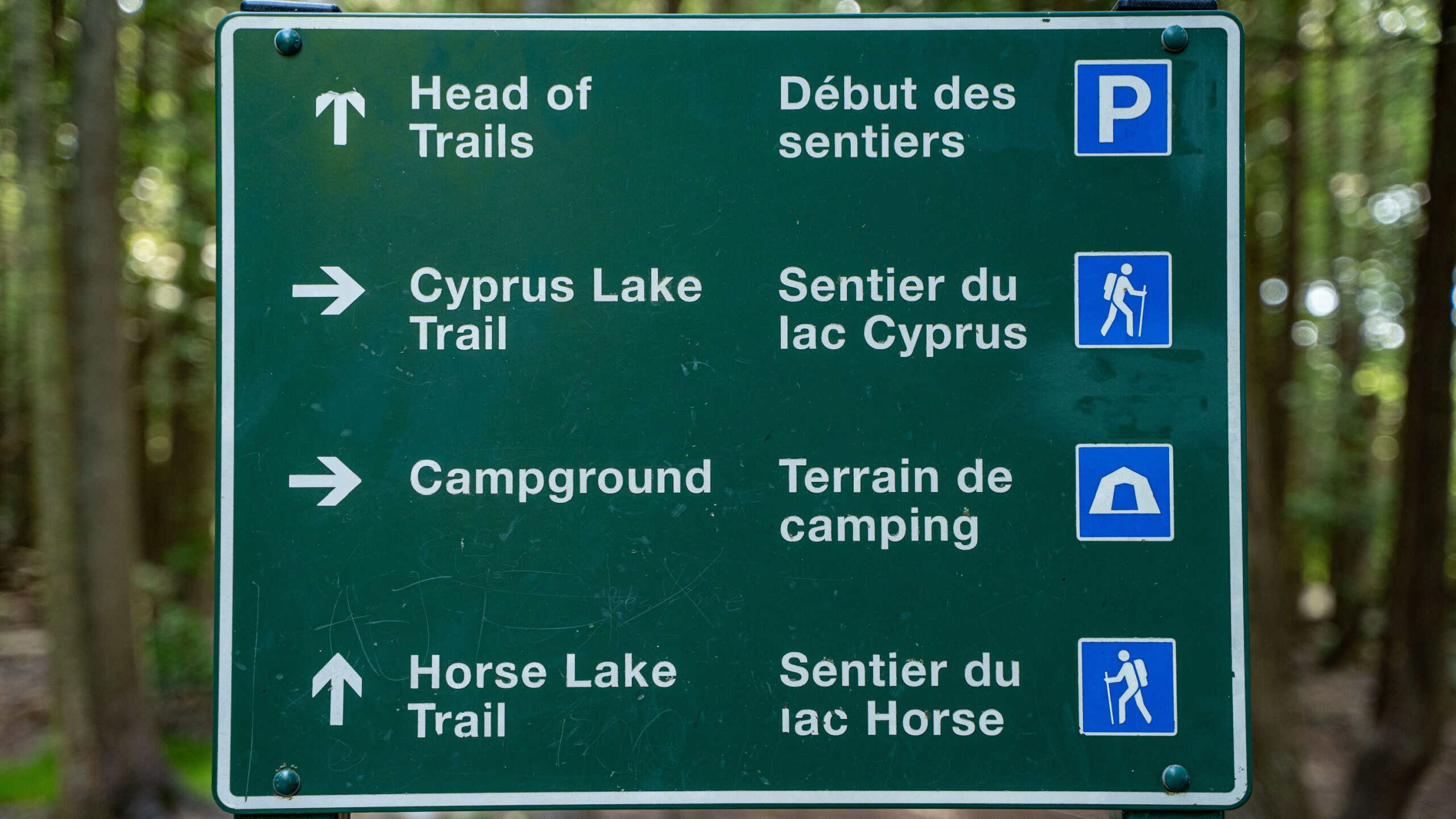
Canadian cities will put street signs in both English and French or simply in French.
Americans gape at roads that say “Rue” before the name of the street, instead of “Street” after it (Example: Rue Catherine instead of Catherine Street).
In Ottawa, signs are perfectly 50/50, which can be a lot of text to read while trying to make a quick turn.
The “Concession” road version of the grid

Ontario’s rural areas are separated by “Concession Roads” and “Line Roads.” Instead of 21st street and 16th Ave, you might see “Concession 4 and Line 10.”
When this land was being mapped out and sold to settlers, the roads represented squares of land being divided by the government. Although it’s very organized, it sounds more like a math equation than an address to most Americans.
Streets are numbered going “Outward”
In some parts of the United States, 1st Street will be the center of town. Western Canadian cities like Calgary divide their entire city into quadrants (NW, NE, SW, SE).
Then they number all of their Streets and Avenues, but the numbers start at the center, and they count up as you move away from the center in all directions.
Americans won’t realize this if they don’t notice the “NW” or “SW” and end up driving 20 miles in the wrong direction.
The lack of “Frontage Roads”
Americans (especially Southerners/Texans) are used to driving on highways with “feeder” roads or “frontage roads” running parallel to the highway that have all of the cute little shops and gas stations.
Canadians do not have this. Usually, our highways are lined with either sound walls or green space.
You actually have to exit the highway and drive through the deep interior of neighborhoods to get to a store. It’s not very convenient to American sensibilities.
Random “Alimentation” or “Dépanneur” signs

Canadians love confusing Americans with their prevalence of signage for “Depanneurs” (corner stores) or “Alimentation” (groceries).
Anytime Americans are scanning the horizon for that reassuring sight of a “7-Eleven” or “CVS” sign, they’ll see these gems of Canadian lexical uniqueness.
Extremely long streets with no “Blocks”

What Americans know as a “block” is nowhere near the standard measurement it is up north.
In Canada, especially in the Prairies or suburban Ontario, you might drive on one street for several kilometers without a single cross-street breaking it up. This “super-block” layout makes walking distances look much shorter on a map than they actually are in real life.
Sources: Please see here for a complete listing of all sources that were consulted in the preparation of this article.
Like our content? Be sure to follow us.